Hands-On Geography Activity Maps
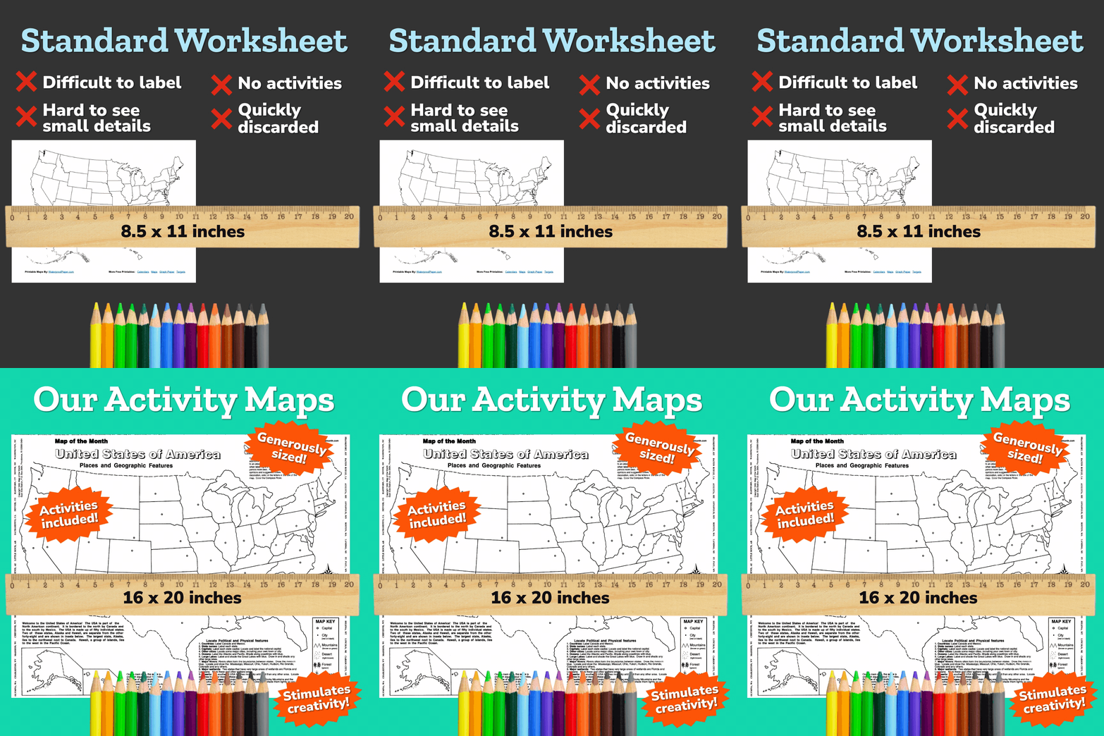
Our large-format outline maps are generously sized at 16 inches x 20 inches and designed to help K-12 students make sense of our world, both past and present in a hands-on, fun way. We are proud that we receive requests from college professors and student-teachers who use our maps as examples of how to teach geography.
Each 16x20 inch outline map is printed on sturdy paper and shipped flat (not rolled), ready for your students to easily label and color in details. Additionally, place names and geographic features are better learned by actually making a map rather than just studying one. When finished, each student’s map will look different. No two students will write or color the map exactly alike. Each map will be unique to your young cartographers!
With over 90 maps to choose from, you'll find USA and individual state maps, continents and world, countries and regions, history and specialty maps, along with classroom kits and map essentials.
Why Our Maps Work
Encourage Research Skills
Students learn to use atlases, encyclopedias and other resources.
Cooperation Through Teamwork
Students can work in groups while using our maps, encouraging the all important skill of cooperation.
Inspire Creativity
Students love to color and use their imaginations. Because our maps are fun to use, they make learning geography easier.
Reinforce Neatness
Cartography is a great way to learn paper-to-pencil skills. For example, students may have to make a word fit into a small or odd-shaped space, while still maintaining legibility. Students learn and carry these presentation skills into their other school work.
More Than Geography
Our maps bring together geography and art skills, as well as providing a link to other disciplines such as math, literature and history. Teachers love to use our maps for a variety of topics and lessons.
Activity Maps Stimulate a Variety of Learning Styles
Every classroom has a diverse set of learning abilities that demand a teacher's attention. And teachers are being called on to think outside the box to meet these needs. Our maps and classroom tools help today's educators adapt lessons for a wide variety of learning styles including:


