January 15
Symbols in a Map Key
0 comments
Hands-on geography activity maps kids & teachers
Symbols are small pictures that stand for different features on a map. A symbol is often drawn to look like what it represents. For example, a triangular shape is often used to denote a mountain. A desert is often shown by a group of dots that might look a little bit like sand. A forest could have little shapes that look like trees. A railroad can be shown as a line with bars drawn across it, like a train’s track.
All the symbols for a map are often grouped together in a MAP KEY for reference. Sometimes the MAP KEY is a box shape where the symbols are arranged. Sometimes the symbols are just displayed in a more freeform manner, without a box around them.
When you are coloring symbols, it is good to match colors to what you are depicting. For instance, mountains can be drawn brown and green. If a school is shown it could be red (like a brick building). Trees and wetlands are green, and so on.
Symbols should make some sense. If you are designing symbols for a map, think about shapes that remind you in some way of what you are showing. For instance, you might use an envelope shape, as in the key show here, to represent a Post Office building.
In atlases and professional maps, there are also Map Keys that indicate different kinds of lettering, the size of cities, population and other map details.
Here are some examples of various Map Keys from the MAPS FOR THE CLASSROOM maps.
[fourcol_one] [/fourcol_one][fourcol_one]
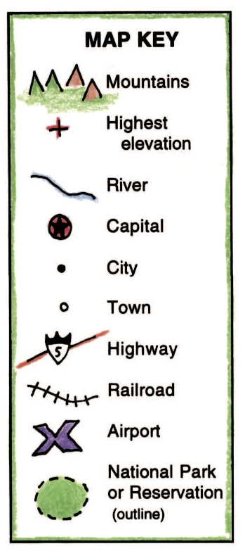 [/fourcol_one][fourcol_one]
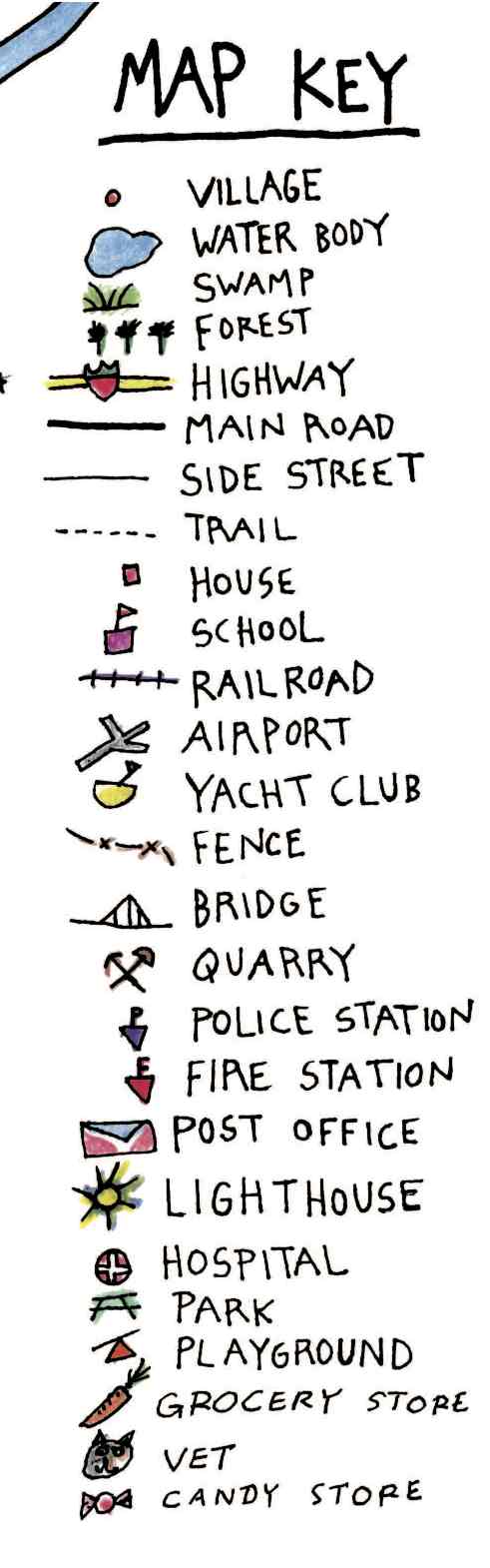 [/fourcol_one][fourcol_one_last]
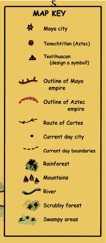 [/fourcol_one_last]
Tags